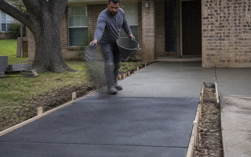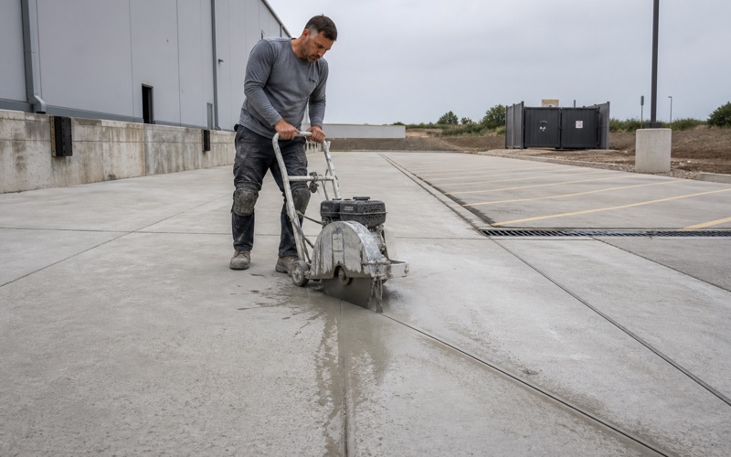
Killeen Elite Concrete works as a concrete contractor in Serenada, TX, on acreage lots where the usual assumption about permits is wrong in both directions. Williamson County has adopted no residential building code, requires no building permit for new single-family construction and cannot issue a certificate of occupancy, so a slab behind a house out here is genuinely unregulated.
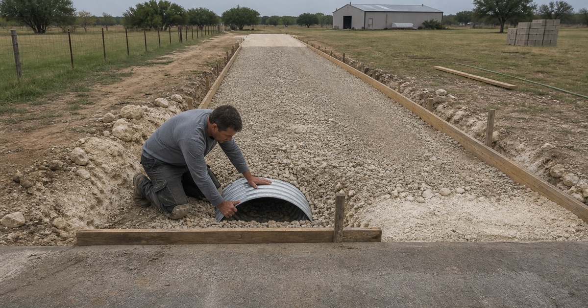
The driveway approach at the front of that same property is not. The City of Georgetown’s Driveway Access Permit reaches into its extraterritorial jurisdiction, and it requires a pre-pour inspection before concrete is placed. On a property with no building code at all, the approach is the one piece of concrete somebody still comes out to look at.
Which permit applies depends on who maintains the street, and that is not uniform even within one community. Of 117 street segments inside the boundary, 106 are maintained by Williamson County and 11 by the City of Georgetown. We work that out before quoting, because it changes the application, the reviewer and the lead time.
No Residential Building Code, and What That Means
The County Does Not Permit or Inspect Houses
Williamson County has adopted no residential building code, does not require a building permit for new single-family residential construction in unincorporated areas, and cannot issue a certificate of occupancy. It also has no zoning authority, and Georgetown’s zoning does not extend into its extraterritorial area.
For concrete work that means a patio, a shop slab or a driveway widening well inside the property line answers to no municipal specification at all. It also means nobody is checking the base under it, which puts the entire burden of doing it properly on the contractor you choose.
What Is Still Regulated
The absence of a residential code is not an absence of oversight. The Williamson County Fire Marshal is the authority having jurisdiction in the unincorporated area, enforcing the 2018 International Fire Code with local amendments plus the Williamson County Fire Code, though that reaches public buildings, commercial establishments and multifamily dwellings of four or more units rather than houses.
Septic is regulated throughout. The Williamson County Engineer’s Office is authorized by the Texas Commission on Environmental Quality to administer on-site sewage facilities under 30 TAC Chapter 285, including on properties inside a city extraterritorial area but outside the city limits.
The Same Subdivision Can Sit on Both Sides of the Line
Annexation has moved the boundary over time. The census-designated place covered 3.5 square miles in 2000, was reduced to 2.6 by annexation before the 2010 census, and the 2024 gazetteer lists 2.154 square miles of land.
The practical consequence is that one platted subdivision can contain addresses under the City of Georgetown’s 2021 International Residential Code with full inspections, and addresses under no residential code whatsoever. We confirm which applies to a specific address rather than to a neighborhood name.
Looking for concrete contractor closer to Lampasas? See Concrete Contractor in Lampasas.
Who Maintains the Street Your Drive Connects To
A Hundred and Six County Segments to Eleven City
Of the 117 street segments intersecting the community boundary, 106 carry a maintenance authority of Williamson County and 11 the City of Georgetown. No segment anywhere inside it is maintained by the state or privately, both of which are valid values elsewhere in the same countywide layer.
That ratio is the reason the county route is the usual one here, and it is also why assuming the county route is a mistake. Eleven segments is not a rounding error when your driveway happens to meet one of them.
The Answer Changes Partway Along One Street
Serenada Drive, Malaga Drive and Logan Ranch Road each carry segments under both authorities. The name on the street sign therefore tells you nothing about who permits an approach onto it, and two neighbors on the same road can be under different reviewers.
We check the segment rather than the street. It takes a few minutes at the front end and it avoids the far more expensive alternative, which is submitting to the wrong office and starting a ten to fifteen business day review over again.
The County’s Own Permits
Williamson County requires its own driveway permit to construct or modify a driveway connecting to a county-maintained roadway, applied for through mgoconnect.org, plus a separate utility permit for work inside county right-of-way. The Road and Bridge Division sits at 3151 SE Inner Loop in Georgetown.
Which of the two authorities governs a given approach comes back to who maintains that particular street. Where the segment is county maintained, the county permit is the one that matters and Georgetown’s does not apply.
The Approach Permit That Reaches Out Here
Jurisdiction That Extends Past the City Limits
Georgetown Unified Development Code Section 3.19.020 requires a Driveway Permit for new driveway locations on roadways within the jurisdictional limits of the city, and for existing driveways where a development represents a change in property usage or zoning. Section 3.19.020.C then states that for this section those jurisdictional limits include property in the extraterritorial jurisdiction.
That single clause is why an approach out here can need a city permit on a property the city does not otherwise regulate. Section 3.19.070 expires an issued permit 18 months out if the driveway has not been constructed consistent with it.
What the Submittal Has to Show
A permit is required any time an existing driveway is added to or the approach is changed or altered. The city defines the approach as the portion of the driveway at the street that crosses the utility easement, usually the first 10 feet, which is a narrower scope than most people assume.
The application needs a plot plan showing all structures, building lines, public utility easements and drainage easements, plus a drawing or detail of the steel reinforcement going into the approach. Ten to fifteen business days are allowed for review, so it is not something to start the week before a pour.
The Pre-Pour Inspection
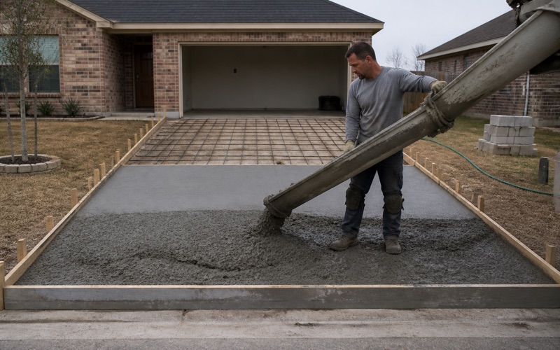
A pre-pour inspection is required before concrete is placed, followed by a final inspection afterward. On a property where nothing else gets inspected, that visit is the only independent look anyone takes at the work, and it is worth treating as the standard for the whole job rather than for ten feet of it.
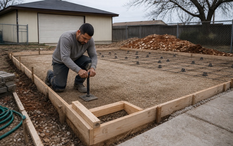
It also has to be scheduled into the sequence rather than around it. Forms, base and steel have to be genuinely complete when the inspector arrives, because a failed pre-pour costs a rescheduled truck and, in summer, a lost morning.
Acreage, Septic and Getting to the Work
Lots Measured in Acres, Not Feet
Of the 585 appraisal district parcels wholly inside the boundary, the median is 1.04 acres and the mean 1.66. Three quarters are an acre or larger, 17.1 percent are two acres or more and 6.2 percent five acres or more, with 99.7 percent at half an acre or above.
That changes the shape of the work: long private driveway runs, deep frontages, and in most cases room for a truck or a skid-steer to reach a back yard without crossing anyone else’s ground. Access being straightforward is worth real money on a large pour.
The Drainfield Decides Where Concrete Can Go
On the unincorporated side, wastewater is on-site. A drainfield and its reserve area constrain where a patio, a slab addition or a driveway widening can legally be placed, and the county engineer’s office holds the record of where those were put when the system was permitted.
Pulling that record before designing a slab is not optional in our view. Concrete placed over a drainfield or its reserve is a problem with no cheap remedy, and the record exists precisely so nobody has to guess.
Flood Hazard Inside the Boundary
Flood hazard areas inside the community include Zone AE special flood hazard area, a mapped regulatory floodway, and shaded Zone X representing the 0.2 percent annual chance hazard. Oakalla soils are mapped in a channeled, frequently flooded phase.
Where flatwork sits in or near those areas, drainage and the finished elevation matter more than anything about the mix. We look at the mapping before proposing a layout rather than after somebody’s first heavy season.
Limestone Close to the Surface
Six Map Units, and None of Them Are Vertisols
Six soil map units are mapped inside the boundary: Eckrant cobbly clay on 1 to 8 percent slopes, Eckrant stony clay on 0 to 3 percent slopes, the Eckrant-Rock outcrop association on 1 to 10 percent slopes, Georgetown clay loam, Georgetown stony clay loam, and Oakalla soils in a channeled frequently flooded phase.
Not one of them is a Vertisol. The excavation question here is rock and stone rather than seasonal movement, which is the reverse of the assumption most contractors bring in from further east.
Eckrant and the Rock in the Spoil
Eckrant is taxonomically Clayey-skeletal, smectitic, thermic Lithic Haplustolls, and its limestone R horizon begins at 28 centimeters, roughly 11 inches. The 10 to 28 centimeter horizon carries 31 to 52 percent rock fragments in the 3 to 10 inch class depending on the map unit.
The Eckrant-Rock outcrop association is 58 percent Eckrant and 16 percent rock outcrop by representative component percentage. Half the material coming out of a trench can be stone, which changes both the excavation and what has to leave the property afterward.
Georgetown and Doss Underneath
The Georgetown series carries a surface horizon of 30 percent clay with a plasticity index of 23 and linear extensibility of 2.5 percent down to about 17 centimeters, then a Bt horizon of 70 percent clay with a plasticity index of 48 and linear extensibility of 8.5 percent, over limestone at 89 centimeters.
Doss silty clay reaches a weathered-bedrock horizon at 43 centimeters with a surface plasticity index of 29 and linear extensibility of 5.4 percent. The reactive material is in the subsoil rather than at the surface, so what a trench looks like in its first foot is a poor guide to the second.
A Stock That Is All the Same Age
The year-built distribution is unusually concentrated: 265 units built between 1980 and 1989, 225 between 1970 and 1979, 42 in the 1990s, 10 in the 2000s, 10 in the 2010s and none since 2020. Essentially the entire community reached 35 to 55 years of age together.
Of 527 occupied units, 516 are owner-occupied and 535 of 552 total units are single-family detached. There is no rental or management layer between an estimate and a decision here, and the original driveways, approaches, walks and patios are well past the point where patching returns anything.
- 20+ Years in Central Texas
- Registered and Insured in Killeen
- Free Written Estimates